Real maps are the best maps
…well sometimes. And this is one of those times.
If you’re writing RPG stuff then obviously you need to know about Strange Maps. If you’re looking for a map for your fantasy world you could do a lot worse than just grabbing Kerguelen,* AKA “the Desolation Islands” (enough maps here for a whole Sea of Os’r, BTW).

The real archipelago (with names, if you like) has a total land area of 2,786 square miles, but thanks to the fractal magic of coastlines you could make it stand in for any size you like. I particularly love the crazy folding thing going on in the north and centre, with all those fjords and mountains: a military disaster waiting to happen. Not sure what to populate it with? Strange Maps has some suggestions:
“The feral cats are rarely seen, except for those who live at the base and are almost domesticated. Most cats are really wild animals, more so than the rabbits (which are everywhere, and do much damage to the ground) or even the elephant seals laying on the streets. Kerguelen cabbage is a protected species and we are forbidden to eat it… although of course, every year people do try to prepare some. It is said to have a terrible taste!”
…and Kergolus… an animal of indeterminate species, although his furriness and quadripedality seem to suggest an affinity with… badgers, stoats and ferrets [and wolverines, natch. Ed]. But his peculiar shape was of course suggested by the outline of Grande Terre – so we could say that Kergolus is a native species, unlike all the cats, rabbits, sheep and reindeer introduced by man.
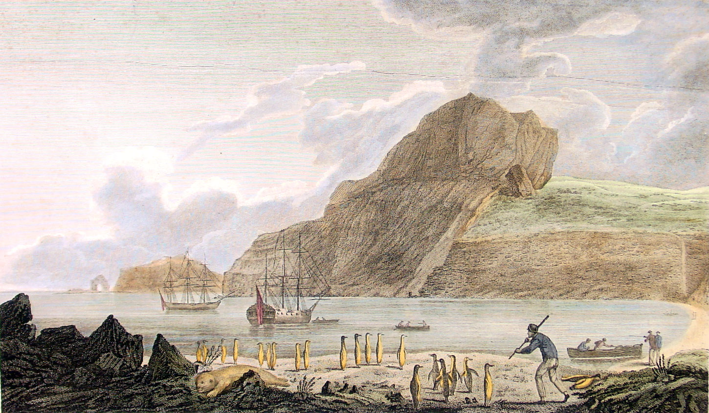
The real place is desolate but strangely beautiful, and would fit a Cthulhuvian game well. It inspired some nice early modern explorer/periplum art. The only way on or off the island is via the Marion Dufresne, a freighter out of Réunion, 3,490 km (2,169 mi) away. That’s ten days’ sailing, if the seas aren’t too rough. So it could be your perfect isolated research station horror setting (its scientist population varies from 70 in winter to 110 in summer), or Lost type island, where the PCs wreck during a yacht race gone awry. The evolution of ways to map and visualise the place lends it a nicely hallucinatory quality, like you can’t quite see what’s there.
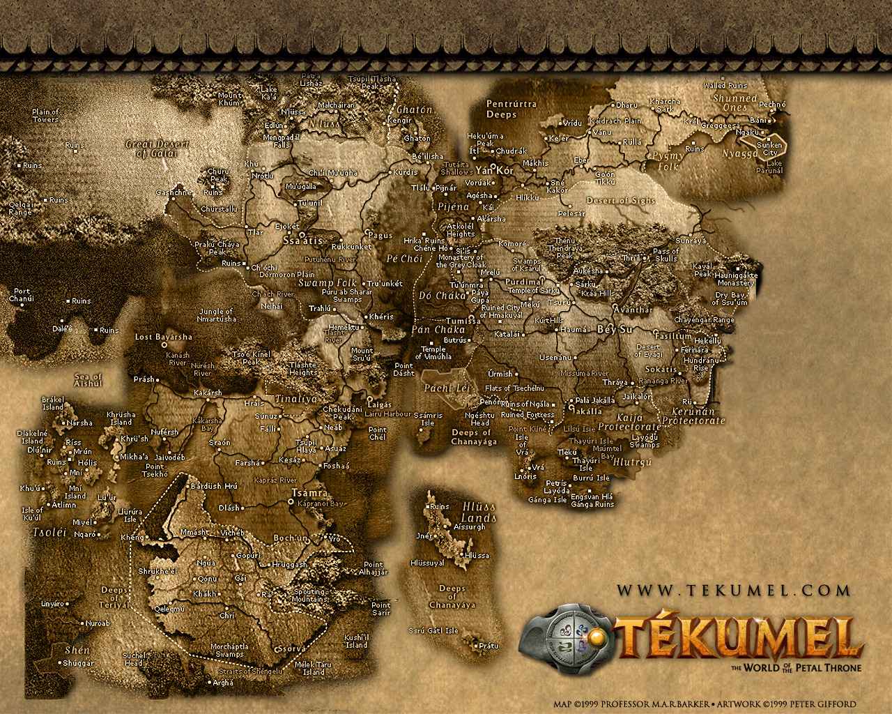
For my needs I probably wouldn’t have it be uninhabited, though: scaling it up, I could put a whole Middle Earth or Tekumel or Korad in there, with cities and civilisations trickling down all sides of snowcapped Mount Meru and nomads raiding across the eastern plains. Maybe, in true Victorian explorer fantasy style, it’s secretly inhabited with a fauna that’s so Other we wind up calling them spirits, like Prospero’s island.
But those other little sneezes of volcanic rock off the mainland? Those are totally cartoon desert islands.
Update: This city occupies part of the ricebowl cup down in the southwest corner.
* not to be confused with this Kerguelen, which looks perfectly nice, too, but doesn’t quite have the same RPG pull, sorry.
Leave a comment
 Scrap Princess
- BEAST PEOPLE NAMES FOR BEAST PEOPLE
- Six Secret Books
- NooFutura available for purchase
- Leucrotta
- Weapon Breakage In Darksun
- Kickstarter Cognition Snare, 8th part of the Hexahedron of the Monks of Flame
- 6th Part Of Kick Starter Cognition Snare, The Hexahedron of the Flame Monks
- Kickstarter Cognition Snare: Hexahedron of the Monks of Flame : The Fouth Part
- Kickstarter Cognition Snare: Hexahedron of the Monks of Flame : The Second Part
- Demon Bone Sarcophagus Kickstarter Is Awrithe!
Reading Appendix N
- Two of my favorite practical mechanics in Delta Green
- A wild hair
- Longest campaigns I’ve played from 2008-2022, and other data neepery
- Going full-depth: collecting complete game lines
- My 2024 RPG collecting goal: All of Ars Magica 5th Edition
- DCC dice, inking, and pencils
- Sailing out of the painting doldrums with Blood Bowl
- New year, new look
- My Black Furnace #dungeon23 project is done!
- Godsbarrow apocalypse narrowly averted
Roles, rules and rolls
- Night's Dark Terror 15: Journey's End in Rifllian
- Night's Dark Terror 14: Funny Things Happen on the Way to the Horse Market
- New Dungeon Just Dropped! (Ancient School)
- Night's Dark Terror 13: Xitaqa 4, Curse You Golthar!
- Night's Dark Terror 12: Xitaqa 3, Up the Tower
- Night's Dark Terror 11: Xitaqa 2, Tower Base
- Night's Dark Terror 10: Xitaqa 1, Round the Houses
- Night's Dark Terror 9: Following the Clues
- Night's Dark Terror 8: Raid on the Goblin Fort
- Night's Dark Terror 7: Hexcrawling South of the River
Akratic
- The Hunt for Gollum
- Swords and Wizardry Kickstarter: 3 days left
- It’s Tolkien Reading Day
- Darkmaster plans for 2024
- James M. Ward, RIP
- OSRIC Player's Guide
- Against the Witch-King: Chapter 1
- Against the Court of Urdor Campaign – Part 2
- My RPG Foci: Fantasy and Eldritch Horror
- Will Gygax’s Castle Greyhawk finally be published?
Lich house
- LOTFP Review: The Curious Conundrum of the Conflagrated Condottiero
- Catching Up with the Pillories (York 1630 Campaign)
- ACKS 2 Kickstarter - Last 24 Hours
- LOTFP Review: Winnie the Shit
- LOTFP Review: Galileo 2: Judgment Day
- LOTFP Review: Black Chamber
- Game Reports - ACKS and LOTFP
- The Strigoi - Vampire Alternative for LOTFP
- LOTFP Review: A Gift for All Norway
- Game Reports - York 1630 and ACKS Greyhawk
Grognardia
- Retrospective: Spelljammer: AD&D Adventures in Space
- Polyhedron: Issue #26
- Secrets of sha-Arthan: Tomb Robber
- Speaking of Miniatures ...
- What's Behind That Door?
- I'm a Terrible Player
- Retrospective: Raiders of the Lost Ark (Atari)
- How Do You Solve a Problem Like Kirktá?
- Polyhedron: Issue #25
- Looking for Ideas

YAYFREESHITTHANXYEWARERAWK!!!1
Your right, cool map.
I know this is an old post, but brilliant idea! You got me poking around Wikipedia’s contents collection: http://en.wikipedia.org/wiki/File:Mayotte_topographic_blank_map.png.
nice! Some day I have to write up a “random and phantom islands of the Indian Ocean” post.